During the ice age, Spitsbergen and the whole surrounding area were repeatedly covered by seemingly highly destructive, huge ice masses. The most important large-scale geographical features of the landscape around Longyearbyen has nevertheless survived from times that by far out-date the Pleistocene.
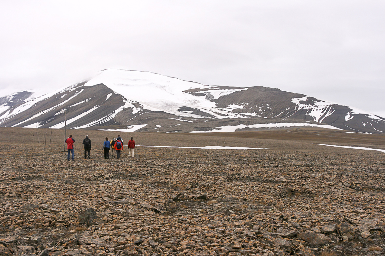
The best example are the wide mountain plateaus in elevations between 400 and 600 metres around Longyearbyen. If you try to connect the plateaux across today’s valleys and transfer the resulting plain, which is still overtowered by a some higher, isolated mountains, down to sea level, then you have got the landscape as it would have been many million years ago: A wide, rolling peneplain near sea level, with low hills and muddy rivers. Although shallow and wide rather than deep, the largest valleys of these rivers have probably created the main pattern of today’s system of fjords and valleys such as Isfjord and Adventdalen. A few isolated mountains, that have resisted erosion through many million years whereas the surrounding bedrock has been removed by erosion over this huge time span, towered 500 metres or possibly higher above the plain (Nordenskiöldfjellet, Trollsteinen and others).
Two more steps were needed to create the scenery as we know it today: Pronounced uplift and glaciation.
Over millions of years, uplift transferred the plains into higher elevations, creating the wide mountain plateaus that are so characteristic for Longyearbyen’s surroundings.
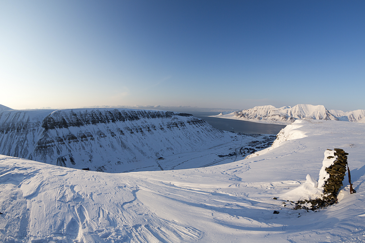
Uplift also lead to increased erosion and thus turned the wide, shallow river valleys into deep valleys with steep slopes. With the onset of the ice age, these valleys were repeatedly filled with glaciers that created typical glacial U-shaped valleys with steep slopes and wide bottoms (Longyeardalen, Bjørndalen).
Gruvefjellet, Svalbard, Norway
Platåberg, Svalbard, Norway