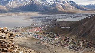
Welcome to the Longyearbyen Field Guide - a non-commercial app sharing interesting field locations and science in and around Longyearbyen with you.
Vestpynten, Revneset and Adventdalen: Beach ridges

The increase and loss of continental-scale ice volume during the Pleistocene left indirect…

A tamed arctic river: Longyearelva

During the snow-melt period in early summer, the brown, muddy water of the river Longyearelva can rise to impressive levels…

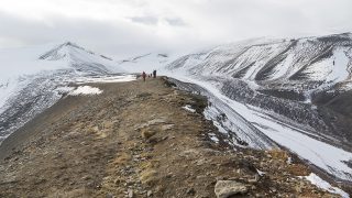
Landscapes created by glaciers: moraines

Each year, rocks provided by frost shatter fall onto the surface of the glaciers from the surrounding slopes.

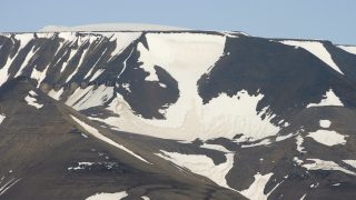
The high plateaux of Platåberget, Gruvefjellet etc.: long-term landscape evolution

During the ice age, Spitsbergen and the whole surrounding area were repeatedly covered by seemingly highly destructive, huge ice masses.

Pingo

A pingo is a hill that can be 10 or 20, in single cases more than 30 metres high…

Permafrost and climate

Active rock glaciers depend on permafrost. In Spitsbergen…

Longyearbreen and climate fluctuations

Plant remains that were found under Longyearbreen about two kilometres behind the present-day glacier terminus turned out to be at least…

Ice wedges

Ice wedges can be found mainly on even surfaces…

Islands on the rocks: Glaciers

Within Spitsbergen, the surroundings of Longyearbyen enjoy a rather dry and relatively mild climate…

Beach ridges

The increase and loss of continental-scale ice volume during the Pleistocene left indirect…

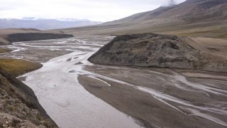
A wild arctic river: Adentelva

During the summer, especially at the time of peak melting, Adventelva is moving large volumes of gravel…

Unser Blog