The increase and loss of continental-scale ice volume during the Pleistocene left indirect, but nevertheless quite obvious traces in the landscape. Being well beyond a thousand metres thick, the ice sheet was able to press the crust down by up to almost two hundred metres.
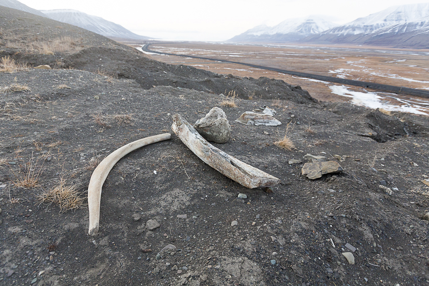
Once most of this ice had disappeared, the crust reacted elastically and started to pop up again, to get back to its original position. The result was land uplift and consequently a retreating shoreline, leaving traces of former beaches such as beach ridges and occasionally driftwood, whalebones and seashells well inland. The age and elevation above present-day sea level allow to reconstruct the chronology of deglaciation. Near Longyearbyen, the highest traces of former coastlines are 60-70 metres above sea level, they date 10,000-11,000 years back.
You can find quite obvious fossil beach ridges at Vestpynten, at Revneset and at the entrance to Bolterdalen, where even whalebones and seashells have been found in the marine sediment, kilometres away from the modern day coastline.

Bolterdalen, 78.1749°N, 15.9447°E, Longyearbyen, Svalbard, Norway